6th May, 2023
How Google Maps Helpful for Trek in Nepal ?
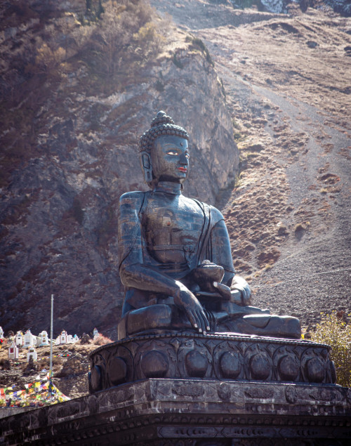
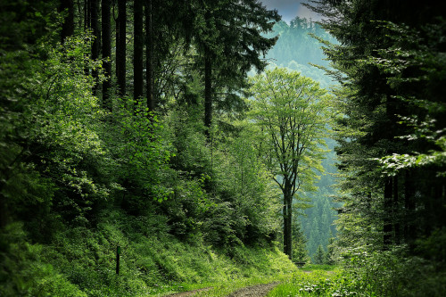
- Magnificent Himalayan Treks
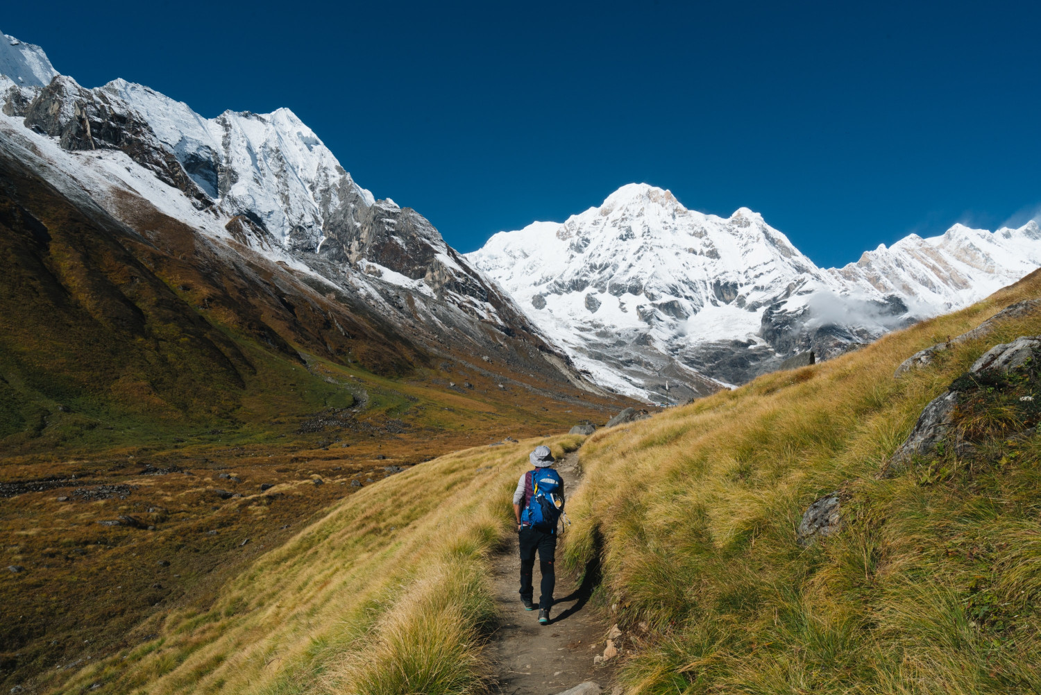
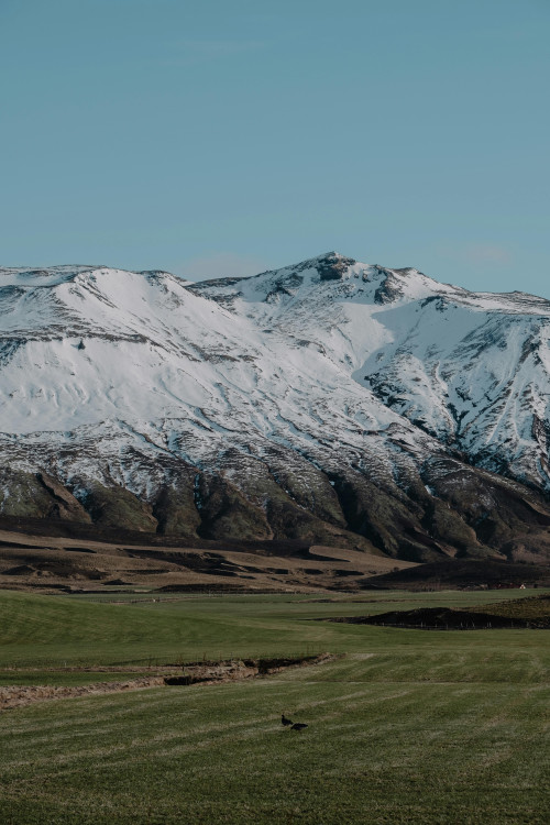
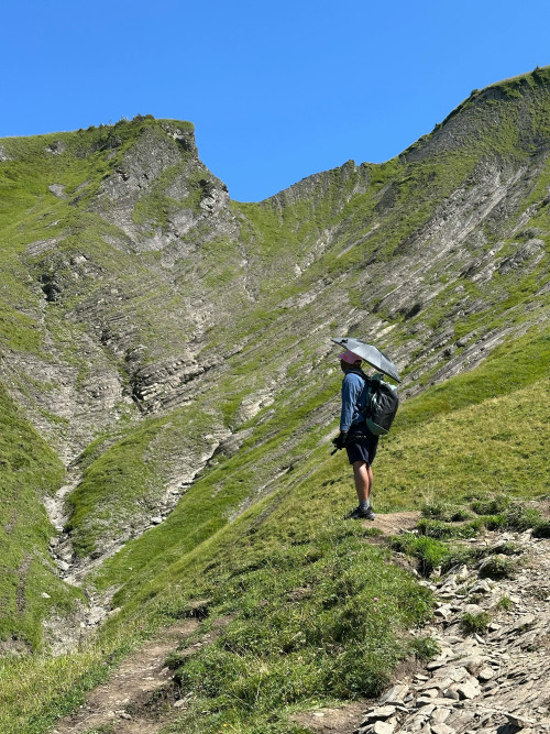
Trekking in Nepal's breathtaking landscapes is a dream for many adventurers. But navigating unfamiliar trails can add stress to the experience. Google Maps can be your secret weapon! This versatile tool empowers trekkers to plan routes effectively, navigate with confidence, and maximize their Himalayan adventure.
In this blog post, we'll explore how Google Maps can transform your Nepal trek. We'll delve into its essential features, guide you on effective trek planning, discuss limitations, and provide crucial safety considerations.
Benefits of Google Maps for Treks
Accurate Trail Navigation
When trek in Nepal, one of the most crucial aspects is accurate trail navigation. Google Maps provides trekkers with detailed trail maps and routes, enabling them to visualize the journey ahead. With a few taps on their smartphones, trekkers can access comprehensive information about the terrain, including elevation changes, water sources, and landmarks. This level of detail helps trekkers navigate through challenging terrains and remote areas with greater confidence and ease.
Real-Time Location Tracking
Keeping track of your location and progress is essential while trekking in unfamiliar terrain. Google Maps offers real-time location tracking, allowing you to monitor and share your trekking progress with friends and family. By sharing your location, you can ensure your safety and receive assistance if needed. Moreover, this feature helps you stay on the right path, minimizing the risk of getting lost and maximizing your overall trekking experience in Nepal.
Discovering Nearby Services and Amenities
During treks in Nepal, it's crucial to locate essential services and amenities such as guesthouses, teahouses, and camping sites. Google Maps can help trekkers find these facilities along their chosen route, saving them from potential inconveniences. Additionally, trekkers can use the app to identify nearby food and water sources, ensuring they have the necessary supplies to sustain their journey in Nepal.
Exploring Essential Features for Trekking with Google Maps
Offline Maps and GPS Tracking
Internet connectivity can be unreliable or nonexistent in many remote trekking areas in Nepal. However, Google Maps offers a valuable solution with its offline maps feature. Trekkers can download maps and routes in advance while they have internet access and use them offline during the trek in Nepal. Furthermore, Google Maps utilizes GPS tracking, enabling trekkers to navigate even without internet connectivity. This combination of offline maps and GPS tracking ensures that trekkers can rely on Google Maps regardless of their location or internet availability.
Elevation and Altitude Information
Trek in Nepal often involves significant changes in elevation and altitude. To prepare for these challenges, Google Maps provides elevation and altitude information along the trekking routes. By identifying ascent and descent points, trekkers can better plan their breaks, assess their physical capabilities, and understand the potential risks associated with high-altitude trekking. This feature aids in acclimatization and helps trekkers adapt to the changing conditions more effectively.
Trail Conditions and Difficulty Levels for trekking in Nepal
Trekking routes can vary greatly in difficulty and technical requirements. To assist trekkers in making informed decisions, Google Maps allows users to access user-generated content on route conditions. This information includes recent reports from fellow trekkers about trail conditions, obstacles, and any necessary precautions. Understanding the difficulty level and technical requirements of a particular trek helps trekkers assess their fitness level and make appropriate preparations for a safe and enjoyable journey.
Trekking Planning with Google Maps in Nepal
Choosing the Right Trekking Route in Nepal
Nepal offers a plethora of trekking routes, each with its own unique beauty and challenges. Google Maps can aid trekkers in choosing the right route for their preferences and abilities. By exploring popular trekking routes in Nepal, trekkers can gain insights into the duration, difficulty level, and scenic attractions of each route. Considering factors such as personal fitness, available time, and desired scenery, trekkers can make an informed decision that aligns with their trekking goals.
Evaluating Distances and Time Estimates according to Nepali people
Accurate estimation of trekking distances and travel times is crucial for effective planning. Google Maps provides valuable information on the length of trekking routes, helping trekkers gauge the duration required to complete their chosen trek. It's important to remember that personal pace and preferences may vary, so trekkers should adjust the itinerary accordingly. Whether you prefer a leisurely stroll or an intense trek, Google Maps can assist in creating a personalized itinerary that suits your needs for Trek in Nepal.
Identifying Points of Interest and Side Trails of Nepal
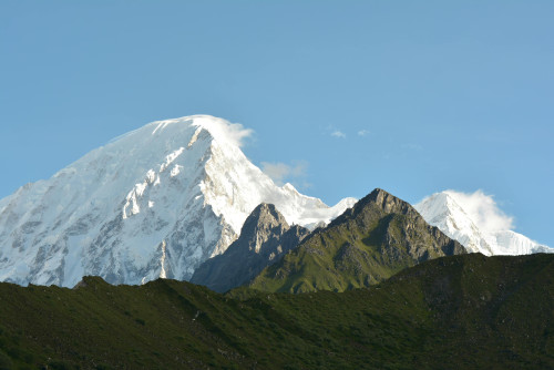
Nepal's trekking routes are filled with hidden gems and captivating viewpoints. Google Maps can help trekkers identify points of interest along the way, such as monasteries, waterfalls, and scenic viewpoints and some famous trekking route like Everest Base Camp Trek, Annapurna Circuit Trek, Annapurna Base Camp Trek, Langtang Valley Trek, Manaslu Circuit Trek, Upper Mustang Trek, Kanchenjunga Base Camp Trek and Makalu Base Camp Trek. These attractions provide opportunities for trekkers to immerse themselves in the local culture and natural beauty of Nepal. Additionally, Google Maps allows trekkers to explore optional detours and side trails, adding extra experiences and adventures to their trekking journey to Nepal.
Challenges and Limitations for Trekking in Nepal
While Google Maps is a powerful tool, it's essential to be aware of potential inaccuracies and outdated information. Trail conditions, landmarks, and amenities can change over time, and Google Maps may not always reflect the most up-to-date data. Trekkers should cross-reference information obtained from Google Maps with local resources, guidebooks, and fellow trekkers. Emphasizing the importance of multiple sources of information helps ensure a safe and reliable trekking experience.
Limited Internet Connectivity
Trekking routes in Nepal often encompass remote areas with limited or no internet connectivity. This limitation can hinder the real-time functionality of Google Maps. To overcome this challenge, trekkers should prepare by downloading offline maps and routes in advance. By doing so, they can access the information they need without relying on internet connectivity. It's also beneficial to familiarize oneself with alternative navigation methods and carry physical maps as backup.
Battery Life and Power Management
Extended treks require careful consideration of battery life and power management. Google Maps, while immensely helpful, can consume significant battery power. Trekkers should conserve battery by minimizing unnecessary usage, reducing screen brightness, and utilizing power-saving features on their devices. Carrying backup power sources such as portable chargers or solar chargers ensures that trekkers can rely on Google Maps throughout their journey.
Safety Considerations and Precautions
Trekking Permits and Regulations in Nepal
Trekking in Nepal requires complying with specific permit requirements and local regulations. Trekkers must understand the permit process and obtain the necessary permits for their chosen trek. Google Maps can serve as a valuable resource to locate permit offices and understand the specific regulations associated with each trekking region. Adhering to these rules helps maintain the ecological balance of the area and preserves the natural beauty of Nepal.
Emergency Services and Communication
Safety should always be a top priority while trekking. Trekkers should be familiar with emergency contact numbers and procedures in the region they are exploring. It's crucial to carry communication devices such as mobile phones or satellite phones for emergency situations. Google Maps can help trekkers locate nearby emergency services, such as hospitals or rescue centers, ensuring that assistance can be soughtwhen needed. It's advisable to inform someone about your trekking plans and share your itinerary with a trusted contact before setting off.
Weather Conditions in Nepal
Nepal's mountainous terrain is known for its unpredictable weather conditions and potential hazards. Google Maps can provide valuable weather forecasts and updates, allowing trekkers to stay informed about any changes in the weather patterns. This information helps in making informed decisions about trekking schedules and potential hazards like avalanches or landslides. Trekkers should also carry appropriate gear and clothing to protect themselves from the elements and be prepared for sudden weather changes.
Supplementary Resources and Tools for Trekking in Nepal
Local Guidebooks and Maps
While Google Maps is a comprehensive tool, it's always beneficial to explore printed guidebooks and maps for additional information. Local guidebooks provide insights into the cultural significance of the trekking routes, local customs, and historical landmarks. These resources can enhance the overall understanding and appreciation of the trekking experience in Nepal. Additionally, seeking recommendations and advice from locals adds a personal touch to your journey.
Trekking Apps and Online Communities
In addition to Google Maps, there are specialized trekking apps and online communities that cater specifically to trekkers. These platforms offer valuable insights, route suggestions, and real-time updates from fellow trekkers. Joining online communities allows trekkers to connect with like-minded individuals, share experiences, and seek advice. These resources provide a wealth of knowledge and support, enhancing the overall trekking experience in Nepal.
Conclusion
Google Maps has emerged as a valuable tool for trekkers exploring the magnificent trails of Nepal. Its accurate trail navigation, real-time location tracking, and access to nearby services and amenities make it an indispensable companion for modern trekkers. However, it's important to approach technology with preparedness, local knowledge, and commonsense. While Google Maps provides convenience and enhances safety, trekkers should be aware of its limitations, cross-reference information, and prioritize personal safety. By leveraging Google Maps alongside other resources, trekkers can embark on an unforgettable trekking journey in Nepal, immersing themselves in its natural wonders and cultural richness. So, lace up your boots, pack your essentials, and let Google Maps guide you through the breathtaking landscapes of Nepal. Happy trekking!
Recent From Blog
26th Apr, 2026
13th Oct, 2025
9th Oct, 2025
21st Sep, 2025
18th Sep, 2025
14th Sep, 2025
3rd Sep, 2025
28th Aug, 2025